Explore All Our
Services
Jurisdictional Wetland Delineation
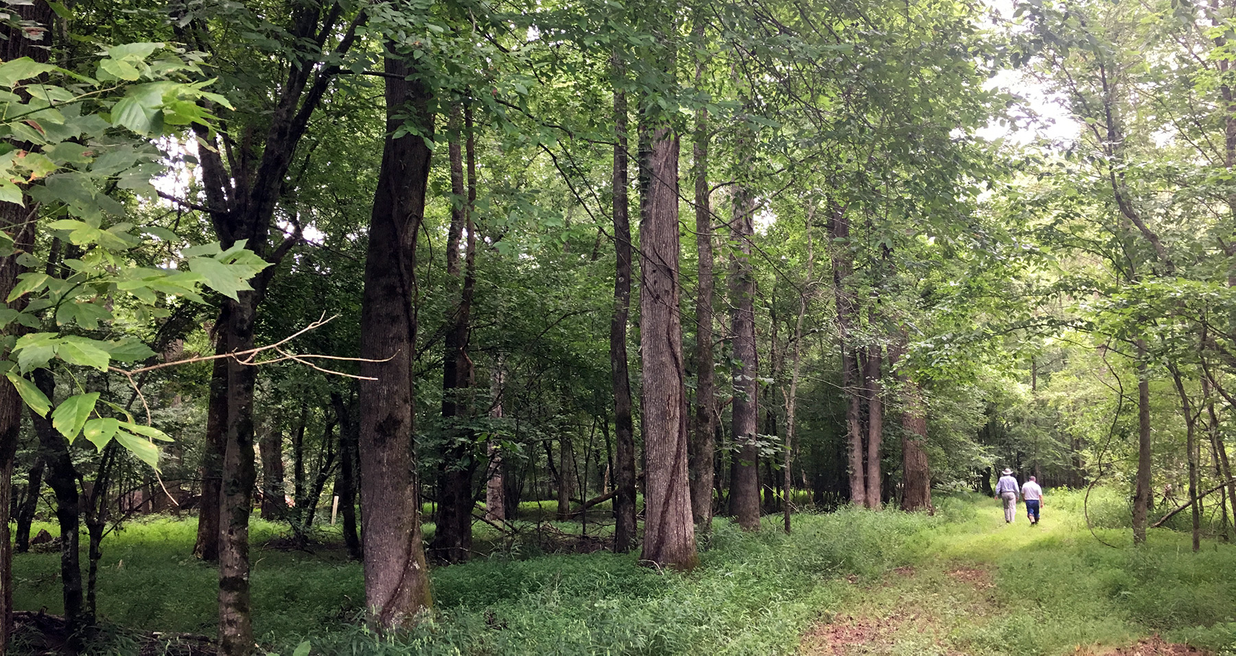
Obtaining a verified Jurisdictional Wetland Delineation (JWD) from the Army Corps of Engineers should be amongst the first steps in planning for developing or altering a parcel of residential or commercial land. The verified JWD establishes a quantified record of the Waters of the US that occur on the property.
The steps for obtaining this baseline document include:
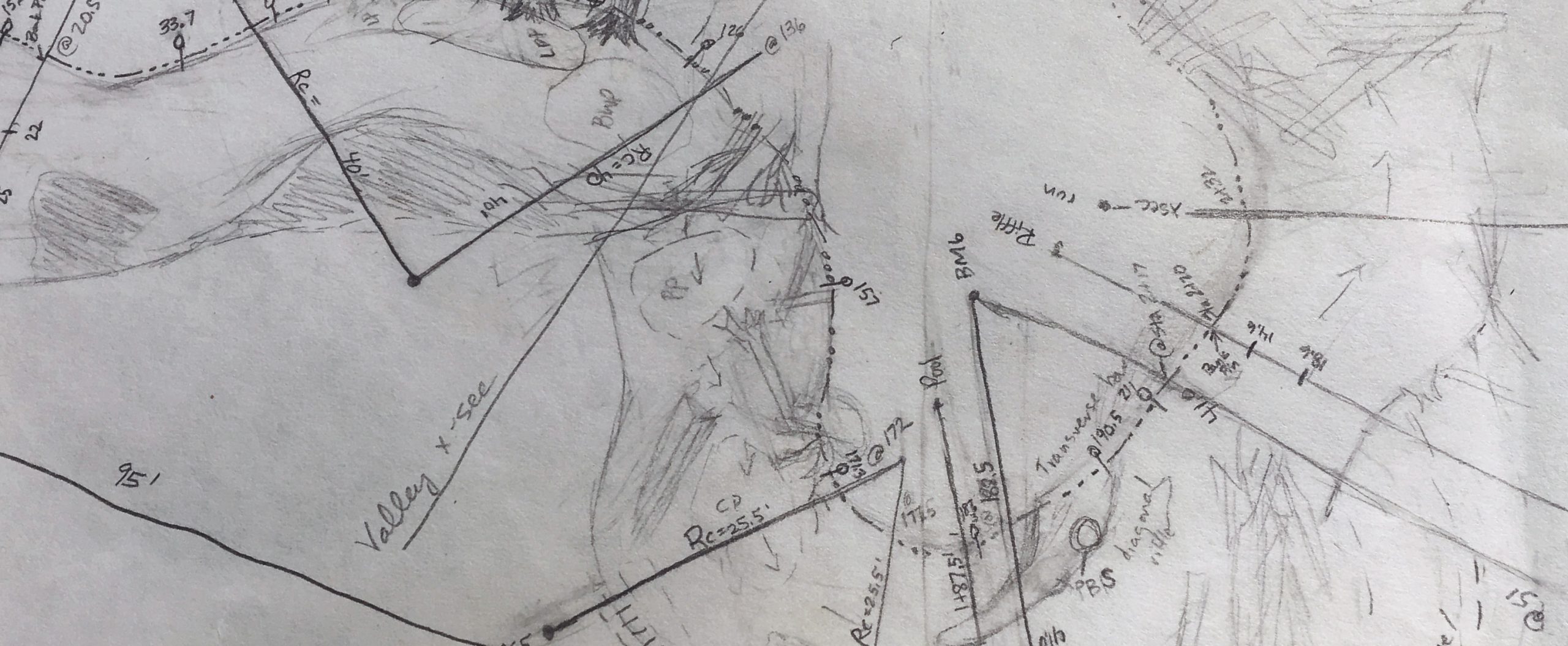
- A site evaluation by trained EPC personnel to assess wetland soils, hydrology and vegetation. During the site visit survey flagging will be hung, delineating the wetland boundary.
- Compilation of a plat, EPC personnel work along with the project surveyor to produce an accurate plat of the delineated areas.
- Report submission, along with the plat an appropriate JWD report will be submitted to the Army Corps of Engineers.
- Official site visit, upon receiving the report, an official site visit will be arranged during which a representative from the Corps of Engineers will verify the established waterway boundaries.
Many factors influence the time span in which it takes to obtain verification. It is highly suggested that you allow ample amount of time for this process to take place.
Permitting
Once the site plans have been compiled and appropriate avoidance and minimization steps have been taken, proposed impacts to Waters of the US typically require Section 401 and Section 404 permits. EPC can aid in obtaining the appropriate permits and avoid costly delays and penalties.
Contact us today for help permitting your project.
Mitigation and Restoration
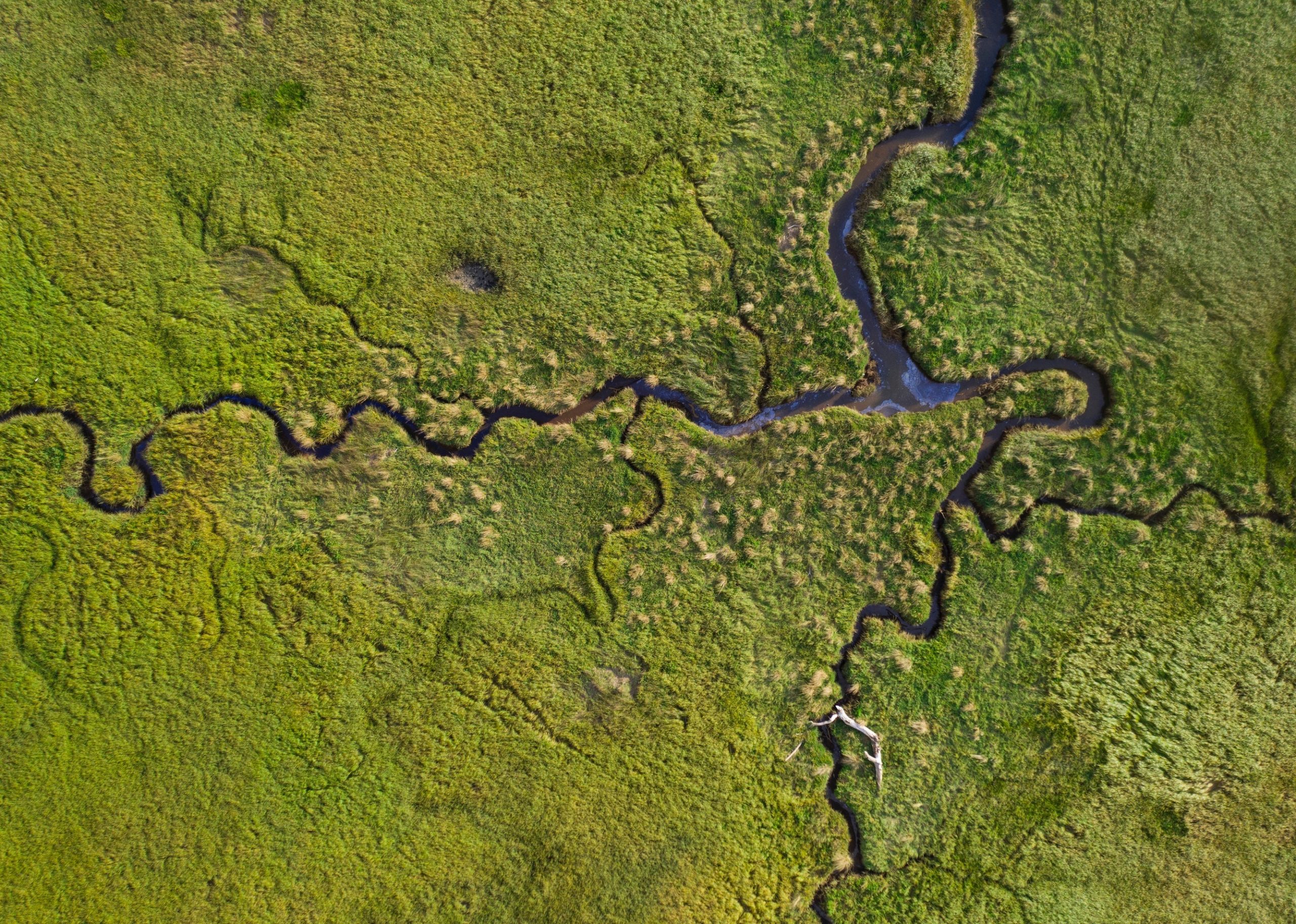
Mitigation actions or project site conditions often require stream or wetland restoration or enhancement. Throughout the years EPC has designed, implemented and monitored a myriad of stream and wetland projects.
Since 2000 EPC has designed and implemented stream restoration or enhancement actions on over 10 miles of streams and rivers throughout the southeast. EPC utilizes the most up to date design strategies and implementation techniques to achieve the project goals.

Endangered and Threatened Species Habitat Assessments
EPC performs Endangered and Threatened Species Habitat Assessments, in order to determine the likelihood that a listed species or potential habitat for a listed species is present within the project area.
The endangered species assessment report will include documentation of species listings and occurrences in the vicinity of the target property. Habitat descriptions will be compared to those habitats found on the target property. Potential habitat for listed species will be inspected for species occurrence. The assessment will be submitted to the US Fish and Wildlife Service for review and concurrence.
Typically, this service is provided for clients who are seeking an Individual Permit for sites that have more than a half-acre of proposed impacts to wetlands and/or streams, or for clients who have smaller projects in areas with known occurrences of specific species such as Bunched Arrowhead (Sagittaria fasciculata) or Dwarf-flowered Heartleaf (Hexastylis naniflora).